Showing posts with label missouri conservation area. Show all posts

Friday, July 8, 2016

Chance to have Input on Missouri Conservation Department Areas

Central Region

Big Tavern Creek Accesses Management Plan – These areas provide compatible outdoor recreational activities such as hunting, animal viewing, and access to Big Tavern Creek. Accesses included in this plan are Boeckman Bridge Access, Brays Access, Madden Ford Access, and Wilson Camp Access.
Lower Osage River Accesses Management Plan – These areas provide recreational fishing and boating access to the Osage River. This plan includes Bagnell Dam Access, Bonnots Mill Access, Kings Bluff Access, Mari-Osa Access, Osage-Tavern Access, Pikes Camp Access, St. Thomas Ferry Access, and Tuscumbia Access.
Hite Prairie Conservation Area Management Plan – Hite Prairie Conservation Area is 103 acres of native prairie in Morgan County. This area is managed for a diverse suite of native prairie plants and animals using grassland management techniques.
Robert M. White II Conservation Area Management Plan – Robert M. White II Conservation Area is 1,163 acres of forest, open land, old field, grassland, lake/ponds, and stream in Audrain and Monroe Counties. This area is managed with an emphasis on woodland and grassland species and compatible recreational opportunities. There are three parking lots, two fishing lakes, and three campsites for public use.

Kansas City Region

Montrose Conservation Area Management Plan – Montrose Conservation Area is 2,750 acres of lakes/ponds, forests, woodlands, wetlands, old fields, open fields, grassland, and native prairie in Henry County. Montrose Lake, with its flow of warm water, offers good fishing especially for catfish. Over the years, it has also become a favorite of waterfowl, and spectacular concentrations of ducks and geese visit the area each winter. This area offers a boat ramp, primitive camping, 14 waterfowl blinds, and two wade and shoot opportunities for public use.
Settle’s Ford Conservation Area Management Plan – Settle’s Ford Conservation Area is 6,766 acres of old field, bottomland timbers, open fields, wetlands, upland timbers, grassland, shrub, and ponds in Bates and Cass Counties. This area contains over 800 acres of wetlands and features an Americans with Disabilities Act (ADA) accessible waterfowl blind, six fishable ponds, and five permanent streams for public use.

Northwest Region

Ray County Community Lake Conservation Area Management Plan – Ray County Community Lake is 159 acres of grassland, forest, woodland, lakes/ponds, old field, and open land. This area features a concrete boat ramp, seven fishing piers (one ADA accessible pier), two ADA accessible privies, four parking lots, and three picnic tables for public use.

Ozark Region

Warm Fork Conservation Area Management Plan – Warm Fork Conservation Area is 185 acres of grassland and forest in Oregon County. This area is managed to protect the riparian corridor of the Warm Fork of the Spring River. Fishing and upland game hunting are two of the most popular activities at this conservation area. 

Southwest Region

Cross Timbers & Hermitage Accesses Management Plan – This plan includes both Cross Timbers Access (44 acres) and Hermitage Access (1.7 acres) located in Hickory County. These areas provide public access to the Pomme De Terre River and for conserving the areas’ natural resources.
Take a look at management plans and share your thoughts online at mdc.mo.gov/areaplans.
Thank you for your interest in the management of your Conservation Areas! 
Great blue herons line the banks of the Osage River near Lake of the Ozarks.

Tuesday, July 5, 2016

The Sunklands - A True Missouri Treasure

The Sunklands, located in Shannon County, are enormous...over 40,000 acres or over 60 square miles in total, all situated in the heart of the Missouri Ozarks. Nearly three miles of the Current River run through this conservation area, and about a mile and a half of trout fishing on Barren Fork Creek are to be found as well.  One of the major outdoor magazines predicted within the last few years that a world record whitetail could come from the area.  Turkey hunting is extraordinary.

Trails exist for hiking, but they are not well mapped. Dispersed camping is permitted, but there are no facilities.  In other words, by and large, the Sunklands are true wilderness.

Sunklands Conservation Area
Photo by MDC Staff, courtesy Missouri Department of Conservation. 
The Sunklands get their name from a geographical feature that is unique, at least in terms of its size, to this one area. The sinkhole that gives the area its name is over a mile long, 600 feet wide, and 200 feet deep.  It is certainly the largest sinkhole in the Show-Me-State.

For more info on the sinkhole that gives the area its name, and how to locate it, visit here.

Getting to Sunklands Conservation Area is not overly difficult, but there are multiple different routes into the area. The directions I am providing here will get you into one side of the region.  You might want to look over a map on your own.  Again, this is absolutely one of Missouri's most beautiful areas, but it does not come with its arms open wide awaiting the visitor.  You will need to spend some time with maps, bring a compass and maybe GPS (but not just a GPS), and come with a sense of adventure.  You will be rewarded for your efforts!

Salem to Sunklands:


Sunday, June 19, 2016

Camping on Missouri Conservation Areas

Family Camping amongst the shortleaf pines at Peck Ranch Conservation Area
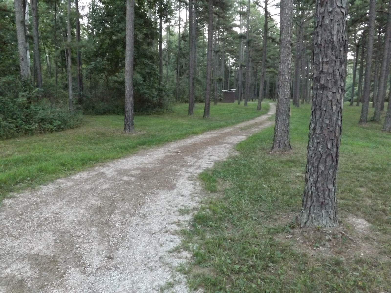
There are some fairly incredible and underutilized camping opportunities across Missouri on Missouri Conservation Areas.  The really cool thing about this is that almost without exception, every county in Missouri has a conservation area where camping is permitted.

Though many conservation areas allow camping, some do not, and it should be noted that pretty much all the camping areas on MDC conservation area land are in the category of "primitive."

Many at least have outhouse type restrooms, but few if any even offer running water, let alone shower facilities like many state parks offer.  If that does not scare you off, then you just expanded your camping choices greatly in the Show-Me State!

Peck Ranch Campground
One of our favorites is Peck Ranch Conservation Area down in Carter and Shannon Counties, east and a little south of Eminence.  The area can be busy during deer seasons and even turkey season, and should probably just be avoided during special managed hunts held several times a year in the wildlife refuge portion.  A schedule for these hunts can be found here.

The main part of the campground is nestled into one of the most pristine stands of shortleaf pine trees that you will find anywhere in a campground setting.  Recreation opportunities in the surrounding areas abound.  The wildlife refuge now has an elk population.  A short drive away is one of Missouri's best swimming holes - Rocky Falls.  Within a 20 minute drive is some of
Missouri's best smallmouth bass fishing on the Current and Jacks Fork Rivers.  A section of the
View from firetower Stegall Mountain
famed Ozark Trail makes its way across Peck Ranch.  Finally, no visit to Peck is complete without a drive to the top of Stegall Mountain and climb as far as permitted up the steps of the resident firetower.  The views are amazing.

Just to bookend things, in the northern part of the state and a little west of Kirksville is Union Ridge Conservation Area.  It is one of the larger conservation areas in the northern part of Missouri at around 8000 acres.  There is fishing, hiking, hunting, and of course camping opportunities across this beautiful area.

Before you go, do a bit of research.  As mentioned before, some of these areas are open to camping and others are not. Also, quite a few have shooting ranges, which are fine, but may not fit into the tranquility you desire on a camping trip into nature.  To start research, visit the conservation atlas.

Rolling hills of Union Ridge Conservation Area
So, we encourage you to check out the camping opportunities available on these great areas.

Next, our series will begin to shift gears as we hone in on some unique areas, some of which we have mentioned already. The next in the series will come out June 21st, 2016.

Friday, December 4, 2015

Get your chance to comment on management of Missouri Conservation Areas - December Edition

The Missouri Department of Conservation is in the process of updating management plans for conservation areas and invites public comments. To view management plans and share comments online, visit mdc.mo.gov/areaplans.  
The following draft Conservation Area Management Plans are available for public comment from December 1-31, 2015.

Kansas City Region

Four Rivers Conservation Area Management Plan - August A. Busch Jr. Memorial Wetlands at Four Rivers Conservation Area is 13,929 acres of wetlands, bottomland forest, woodland, grassland, cropland, old fields, savanna, lakes, ponds, and strip pits. Popular activities at this area include hunting, bird watching, photography, and wildlife viewing.
St. Clair County River Accesses Management Plan - This plan includes Birdsong Conservation Area, Blackjack Access, and Kings Prairie Access.

Northeast Region

Mineral Hills Conservation Area Management Plan - Mineral Hills Conservation Area is 1,989 acres of forest, woodland, old field, crop, infrastructure, and ponds. This area includes 5 parking lots, 7 limited mobility hunter access sites, and 4 fishing lakes; 2 of the lakes are equipped with a table and footstop for ADA use.

Southeast Region

St. Mary Access Management Plan - This area offers 1 concrete boat ramp to Old River channel and 2 parking lots.
Horton Farm Conservation Area Management Plan - Horton Farm Conservation Area is 640 acres of forest, woodland, open land, glade, and ponds. Management emphasis for this area is focused on upland game species such as whitetail deer, eastern wild turkey, and bobwhite quail.
Tywappity Community Lake and Towersite Management Plan - This management plan includes Tywappity Community Lake and Tywappity Towersite. Tywappity Community Lake offers a concrete boat ramp and 2 ADA accessible docks on a 37 acre lake. It also features a 2.5 mile hiking trail around the lake.

Southwest Region

McDonald County River Accesses Management Plan- McDonald County River Accesses includes Cowskin Access, Deep Ford Access, and Mount Shira Access.
Busiek State Forest and Wildlife Area (Idea Gathering Stage) - Busiek State Forest and Wildlife Area is 2700 acres of forest, woodland, old field, and glade. This area is heavily used by campers, horseback riders, hikers, and mountain bike users. Facilities at this area include a shooting range, 2 multi-use trails, 2 picnic tables, 4 parking lots, and 8 individual campsites. Busiek State Forest and Wildlife Area is accepting public comments prior to the development of its area management plan.

St. Louis Region

Prairie Slough Conservation Area Management Plan - Prairie Slough Conservation Area is 584 acres of forest, wetland, and slough. This area is managed for high quality bottomland forest and wetland communities.
Take a look at management plans and share your thoughts online at mdc.mo.gov/areaplans.
Thank you for your interest in the management of your Conservation Areas! 

An eastern bluebird resting on a branch.

Wednesday, November 4, 2015

Conservation Area Management Comment Opportunities

How important are conservation areas to you?

The Missouri Department of Conservation is in the process of updating management plans for conservation areas and invites public comments. To view management plans and share comments online, visit mdc.mo.gov/areaplans.  
The following draft Conservation Area Management Plans are available for public comment from November 1-30, 2015

Northwest Region

Northwest Region Platte River Accesses - This plan includes thirteen accesses along the Platte River in Buchanan, Nodaway, Andrew, Clinton, and Worth counties. Some of the accesses include camping, concrete ramps, and privies. This area plan includes the following accesses: Agency Access, Bridgewater Access, Bristle Ridge Access, Burton Bridge Access, Elrod Mill Access, Hadorn Bridge Access, Keever Bridge Access, Lathrop Bridge Access, Midway Access, Rochester Falls Access, Rock Quarry Access, Saxton Access, and Sheridan Access.

Southeast Region

Flatwoods Conservation Area - Flatwoods Conservation area is 935 acres of upland forest and woodland in Wayne County. This area is managed to provide wildlife habitat, forest products, and compatible recreational opportunities. An archery range, Americans with Disabilities Act (ADA) accessible and firearm range with parking lot (ADA accessible) are available for public use.
Reynolds County River Accesses - Reynolds County River Accesses include Centerville Access and Lesterville Access along the Black River. Centerville Access allows canoe launch access. 
Wilhelmina Conservation Area - Wilhelmina Conservation Area is 1,476 acres of bottomland forest, old tree plantations, and open land. The area includes three gravel parking lots and a small concrete pad with two picnic tables. Popular recreational activities include fishing, hunting, and hiking.
Yokum School Conservation Area - Yokum School Conservation Area is 160 acres of forest and woodland. This area includes a graveled parking lot, 1,320 feet of woods trail, 1 fishless pond, and 1 primitive camping area available for public use.

Southwest Region

Busiek State Forest and Wildlife Area (Idea Gathering Stage) - Busiek State Forest and Wildlife Area is 2700 acres of forest, woodland, old field, and glade. This area is heavily used by campers, horseback riders, hikers, and mountain bike users. Facilities at this area include a shooting range, 2 multi-use trails, 2 picnic tables, 4 parking lots, and 8 individual campsites. Busiek State Forest and Wildlife Area is accepting public comments prior to the development of its area management plan. The comment period for Busiek closes December 31.
 Take a look at management plans and share your thoughts online at mdc.mo.gov/areaplans.
Thank you for your interest in the management of your Conservation Areas! 

10 Tips to Keep Your Outdoor Gear in Working Order and Well Organized

Camping Gear - It's expensive to buy, make it last. Maintaining and organizing your outdoor gear is crucial for ensuring it remains func...